Your cart is currently empty!
Fossavatnsgangan free style
Date
April 15, 2027
Startup
17:00
Style
Free style
The course
In a nutshell
The first 15 km are tough, but then the route leads from Seljalandsdal up to Hnífa, Botnheiði and on over Fellsháls. From there, it's an easy 10 km down to Nónvatn and on. The walk is from Seljalandsdal to the edges up to Botnsheiði and then back over Miðfellsháls, which is steep. The first 12 km are quite difficult, but the last 7 km are very easy. A real challenge.
Distance between drinking stations
| Start-Búrfell | 5.2 km |
| Búrfell – Heathen | 4.5 km |
| Heiden – Búrfell | 5.4 km |
| Búrfell - finish | 10.2 km |
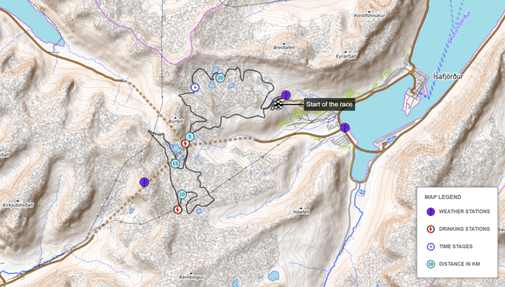
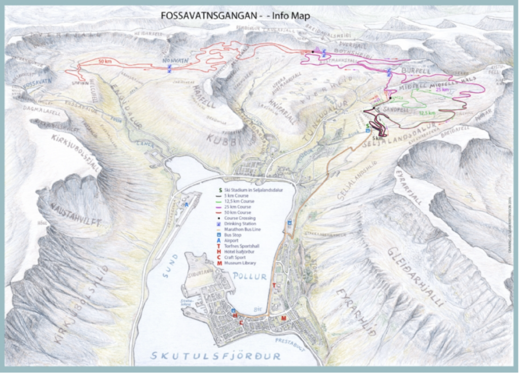
Course description
You start from the ski house at Seljalandsdalur like all the other distances. The first kilometer is an easy loop around the start area, but the next kilometer is mostly a steep and difficult climb up to Háabrún, one of the most picturesque points of the course. The view from there over the fjord Skutulsfjörður is stunning and ideal to take a photo or two if you´re not too much in a hurry.
Following the climb up to Háabrún you come to a relatively flat section that stretches for over a kilometer. It takes you under a ski lift and eventually to the crossroads where the 12,5 km skiers turn right but the 25 and 50 km skiers keep on going straight. Soon after you pass the crossroads you will be greeted by an uphill that takes you under another ski lift. Now you have skied some 4 quite strenuous kilometers with a total elevation of 155 m. After another kilometer you come to the first feeding station, Búrfell 1. Following the feeding station you will be treated to an easy section called Hnífar, before doing another 2 km long climb up to the next feeding station, Heiðin 1. This is the only point of the course that is accessible by car, although the road is only open for our staff and the rescue team.
Here, approx. 10 km have been covered and now the path eases somewhat for the next few kilometers while walking along Botnheiðinn. However, that happiness does not last too long because when we have visited the drinking station under Búrfell for the second time, after approx. 16 km, a fairly strenuous climb begins where it is called "among falls", i.e. between the mountains Búrfell and Miðfell. When you get to Gyltuskarð, from where you can see down to Botnsdal in Súgandafjörður, turn right and take the most famous slope in the Fossavatn pass, Miðfellshálsin itself. That neck has proved difficult for many people over the decades. There is a long, steep section going up here, and most people have a lot of energy left in the tank when they reach the top. But that's not to blame, because now we take relief at the 7 km mark, with long runs and pushes. However, you should be careful, because in many places the flow is very fast and can be dangerous, especially for the inexperienced.
Profile
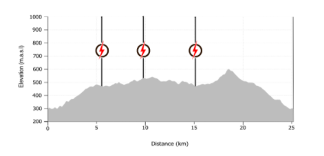
| Start | 290 a.s.l. |
| Highest point (Miðfellsháls) | 607 etc |
| Longest climb | 115 m (above Miðfellsháls) |
| Total climb | 520 m |
Simpler implementation than the 50 km walk
Non floating start: All participants start the race at the same time.
Bus ride: There is plenty of space in the parking lots in connection with the Fossavatnsskauð, but a bus trip is also offered from the sports hall in Torfnes at 16 and back again at 19.
Store the clothes bag in the ski lodge: There is enough space to store clothes bags in the ski shed, outside or in the manure shed.
No backpack duty: It is not mandatory to carry a backpack like on Saturday.
No time limit: There is no specific maximum time for the walk.
Cake buffet and prize ceremony
A delicious coffee buffet will take place in the Torfnesi gymnasium from 15:00-17:00 on Saturday. The buffet is included in the participation fee in Fossavatnsskoutin.
Prizes are handed out at 16:00.
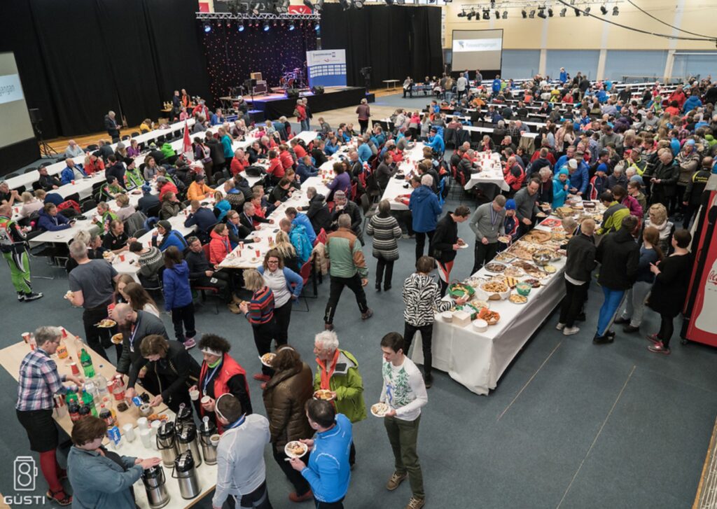
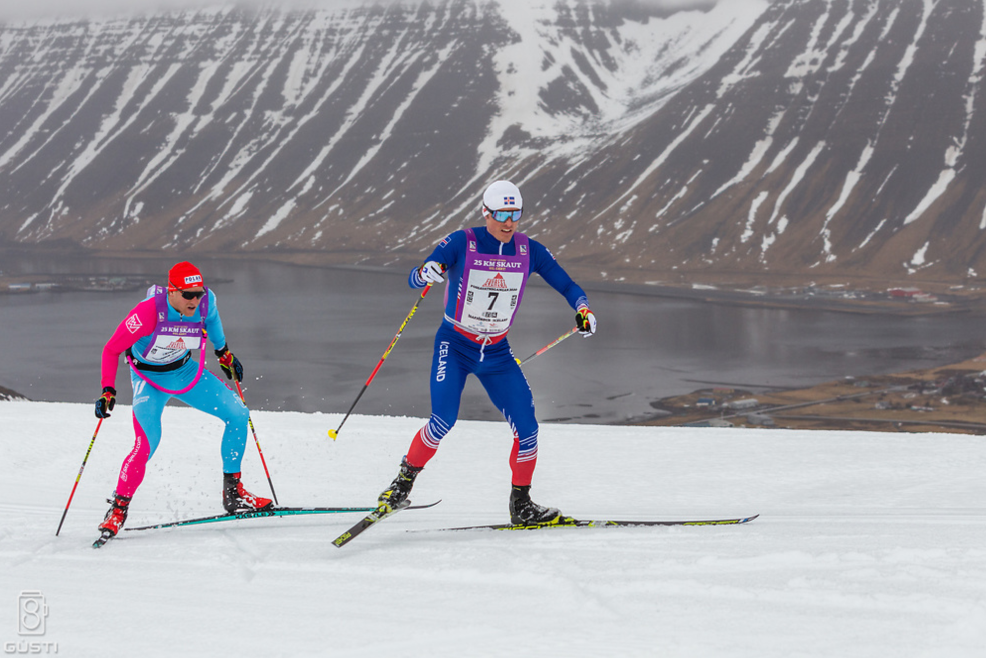
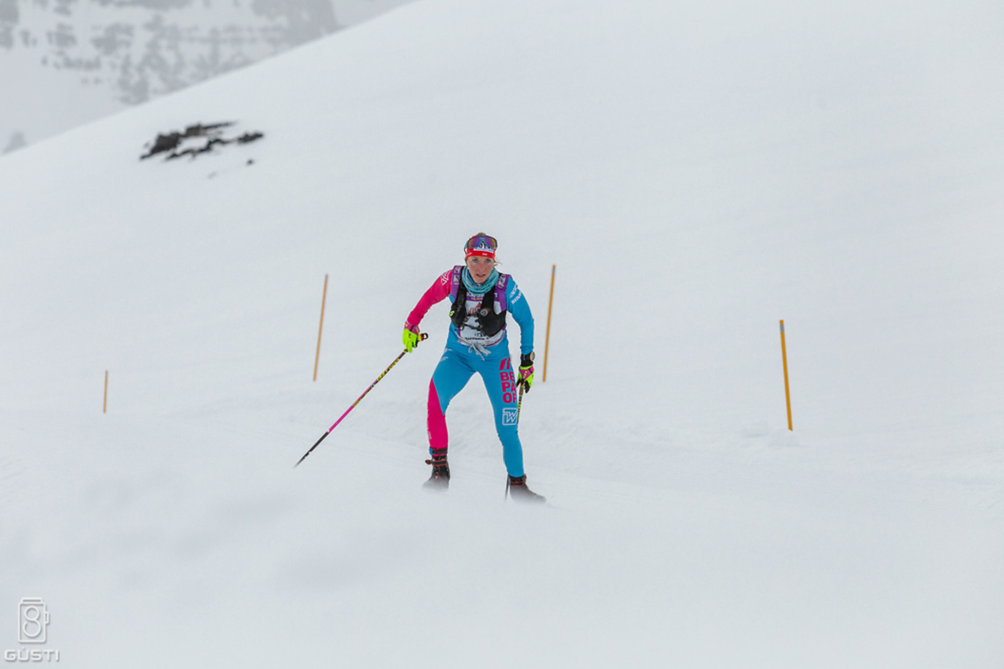
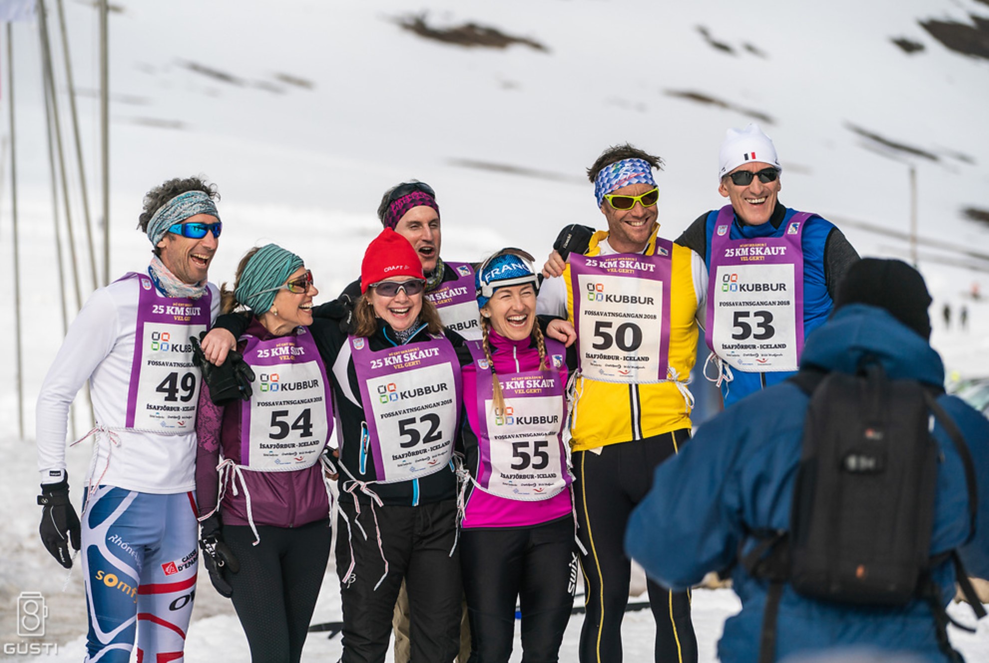
A few photos